
About US
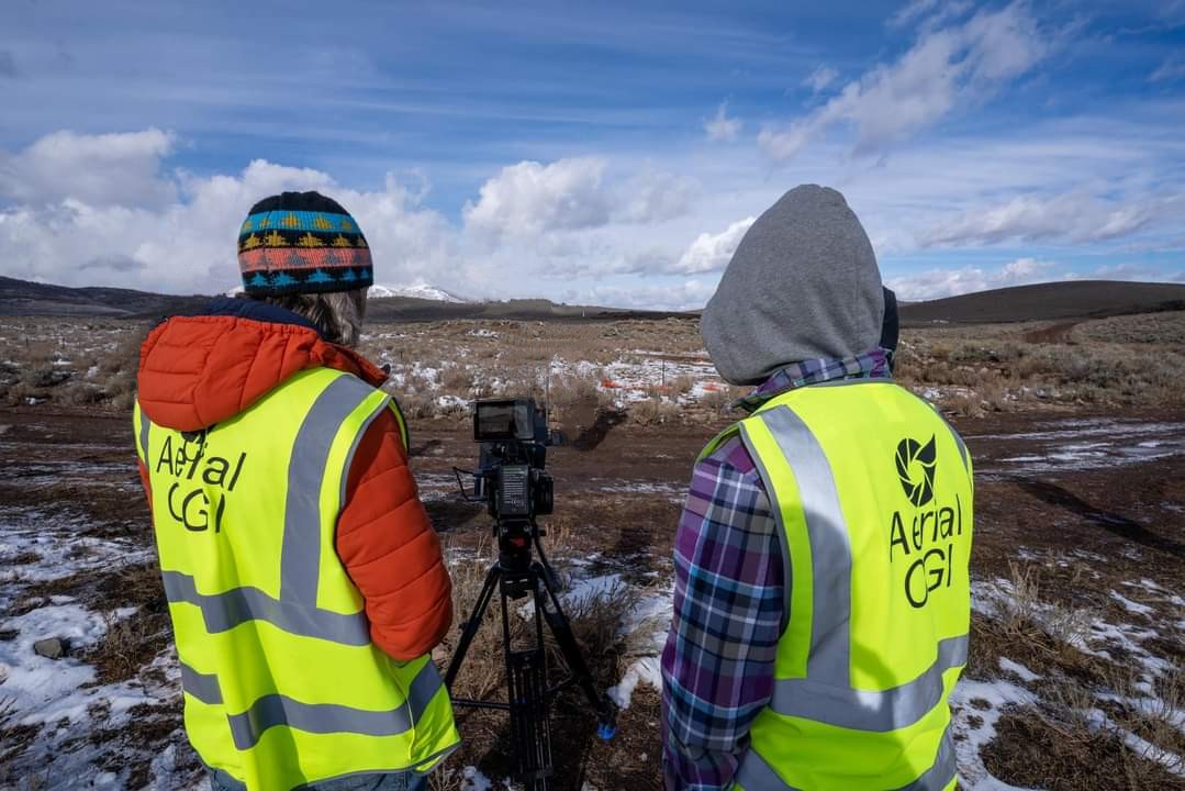
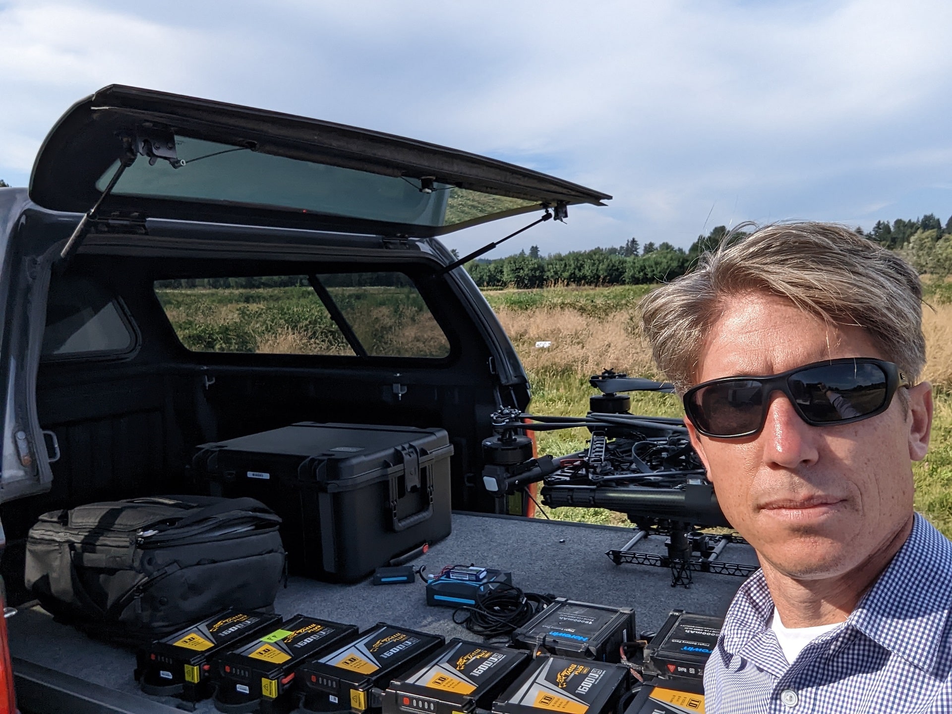
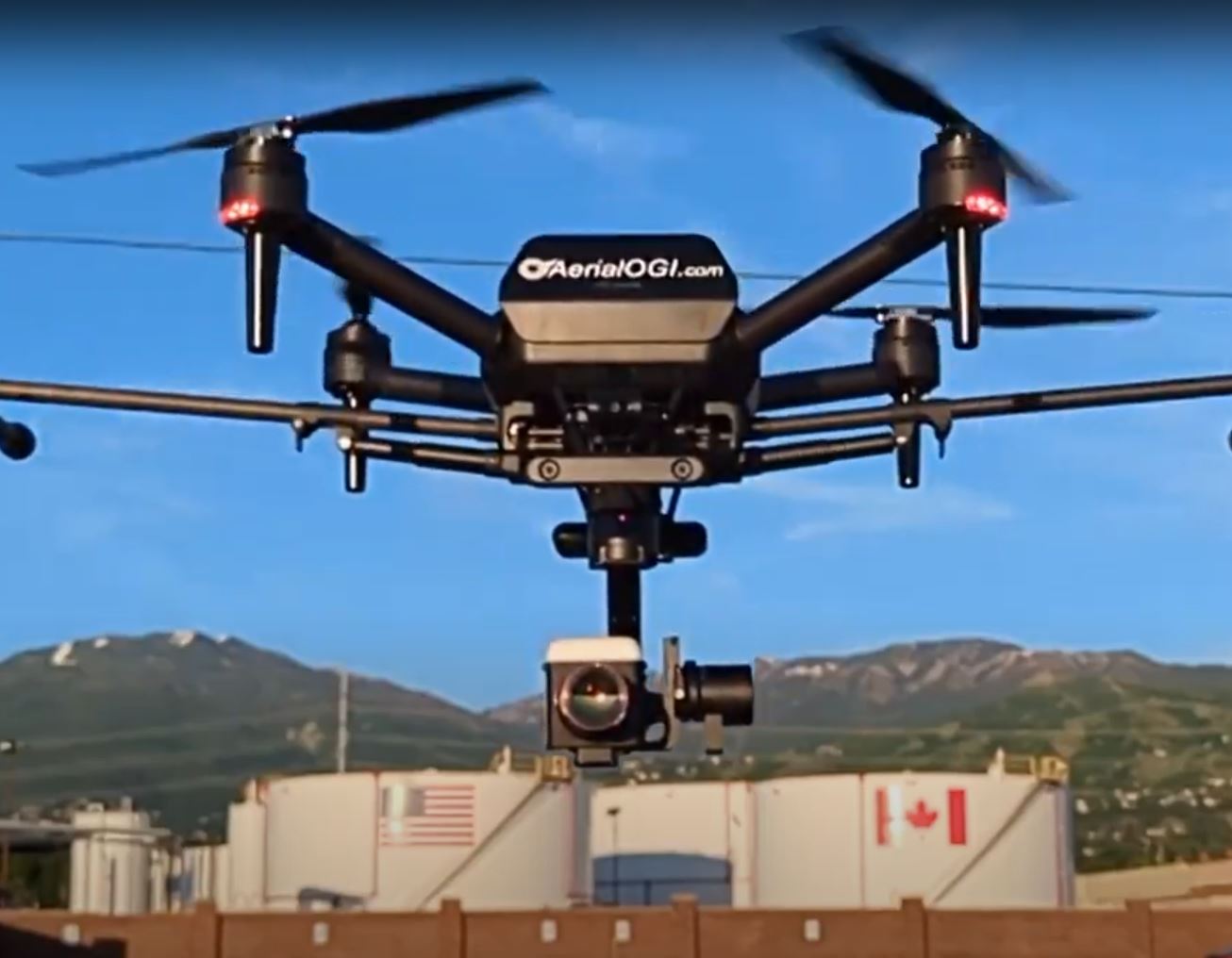
We are a group who love what we do. A team of airplane drivers, electron directors, lensmen, drone racing pilots with experience in: thermography, aviation, environmental engineering, GIS, aerial thermal imaging, aerial optical gas imaging, thermographic mapping and software development.
Who We Are
Aerial OGI is a Utah based company specializing in advanced aerial thermal imagery and thermographic mapping. Our team provides customer-driven thermal maps, and Optical gas imaging software solutions that can be used by a wide variety of companies and governmental entities to meet their specific thermographic needs.
We have professional pilots and aircraft located throughout the United States, Asia, Europe and Middle East to assist you quickly anywhere in the world. Our ground team consists of GISP analysts located in Salt Lake City, Utah. Bringing together years of experience in: Thermography, Aviation, Energy Management and Conservation, Environmental Engineering, GIS, and Software Development. We have developed the software, hardware, and process of capturing unparalleled thermal imagery.